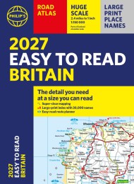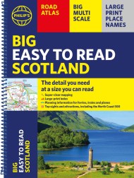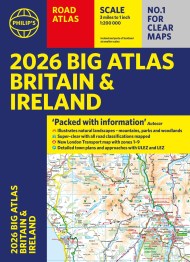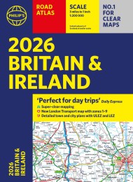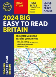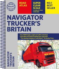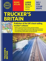
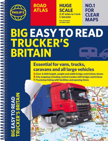
Philip’s Big Easy to Read Trucker’s Road Atlas Britain
PHILIP’S – THE ATLAS BRAND FOR TRUCKERS, CARAVANNERS AND OTHER SERIOUS ROAD USERS
‘The best of its kind with quick and easy to use information’ Fleet Week
– Essential, large, easy-to-read mapping for Truckers (and for Caravanners, too)
– Over 4,000 bridges with restrictions – either height, weight or width – located on the maps
– Super-clear scale maps of the UK – ‘the detail you need at a size you can read’
– Special Feature: ‘Bridge Strikes’ (including ‘Most Hit Bridges’ – all bridges struck five or more times in a year)
– Truck stop/large vehicle listings and location maps, including the facilities and opening times
– All approach mapping/urban area maps with bridge restrictions
– Large-print index – with 30,000 names
– Big format and spiral binding – easy-to-use and easy-to-read on the road
‘Even though I have a satnav I find a map essential for planning in stops on long routes.’ a trucker customer
The new Philip’s Big Easy to Read Trucker’s Road Atlas Britain shows over 4,000 bridges with restrictions – either height, weight or width – and is indispensable for anyone driving a large vehicle, caravan or lorry. Super-clear, large-print maps and packed with the most useful information for drivers of large vehicles.
Reviews
I was recently diverted off the M1 with a 15' 6' and this atlas got me through without hitting a low bridge.
The map is the best on the market - clean, easy to read
Money well spent and huge savings avoiding buying a modern truck Satnav.